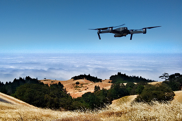
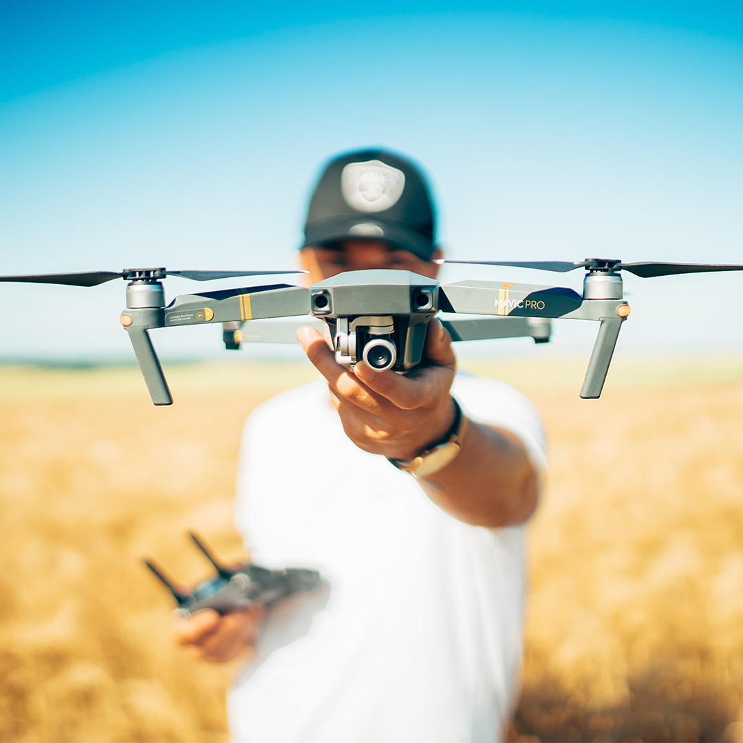
Whether you are a recreational pilot or a professional user, Terra-DV is a natural and exhilarating match for your drone. Whether you use your drone for fun or profit, fixed wing or rotary, you can record your flight and analyse it later
View each flight in 2D or 3D with height and speed data available to share with your friends and fellow users. Click on a certain point in your 3D flight path to jump straight into the video footage.
Take your viewing to the next level by not just visualising a single flight but using our cloud based software to look at all of your completed flights on a 3D globe. Select any flight and browse through your holiday memories or catalogue work for clients. Terra-DV also allows you to browse other recreational users’ flights for inspiration or to find new areas to explore.
Professional users can benefit from the Terra-DV creators’ survey industry background, with expertise inspecting offshore structures and onshore cable routes using drones. The Terra-DV software offers the basics of an inspection package to event your flight findings, however we recommend an upgrade to a professional package. The DataVerse professional package has risk and anomaly management, high resolution 3D terrain and even 3D CAD model tagging.
Features
- Automatically creates tracks from GoPro GPS
- Share your flight path in 3D
- Jump to video from GPS locations using VLC or YouTube
- Grab video stills from any position


Company reg number: 11016251